5
Description
Set off from the Office de Tourisme, cross the road and take the street on the right of the Champ de Mars - the Rue Sémard.
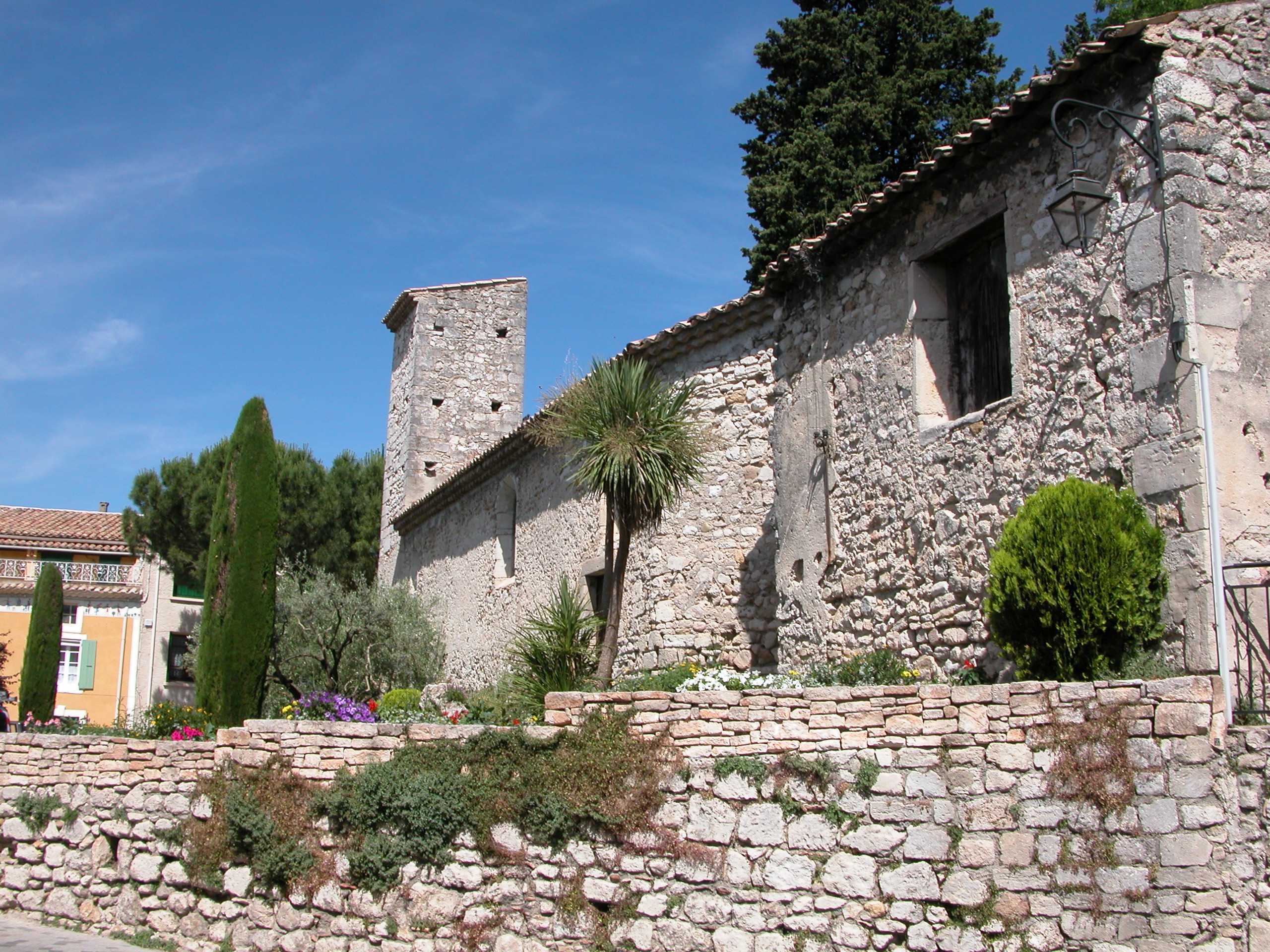
Then take the first on the left, carry straight on and take the first on the right behind the church. Go up the Rue des Pénitents to the Chapelle des Pénitents.
Continue to the end of Rue Bermine, then on the Rue du Château turn left, into the Rue de Berne, and go under an arch. Take the street opposite, then left into the Rue du Grand Four, then right into Rue Bertrand.
Cross the Place Taillade square, take the Rue Louis XI opposite, then the first on the right. Go along this road, staying on the left of the car park, and then take the Rue des Remparts de l’Ouest.
Halfway along this street, you will see on the right a gateway with a cross above it. Open it, and on the left you will find the Chapelle Sainte Thérèse. When you come out again, take the street on the right and at the stop sign, turn left and carry on until another stop sign. Go straight over and take the Rue Notre Dame. At the end of this street, turn right and carry straight on. Take the "Passage Notre Dame" underpass beneath the National 7 highway (the N7).
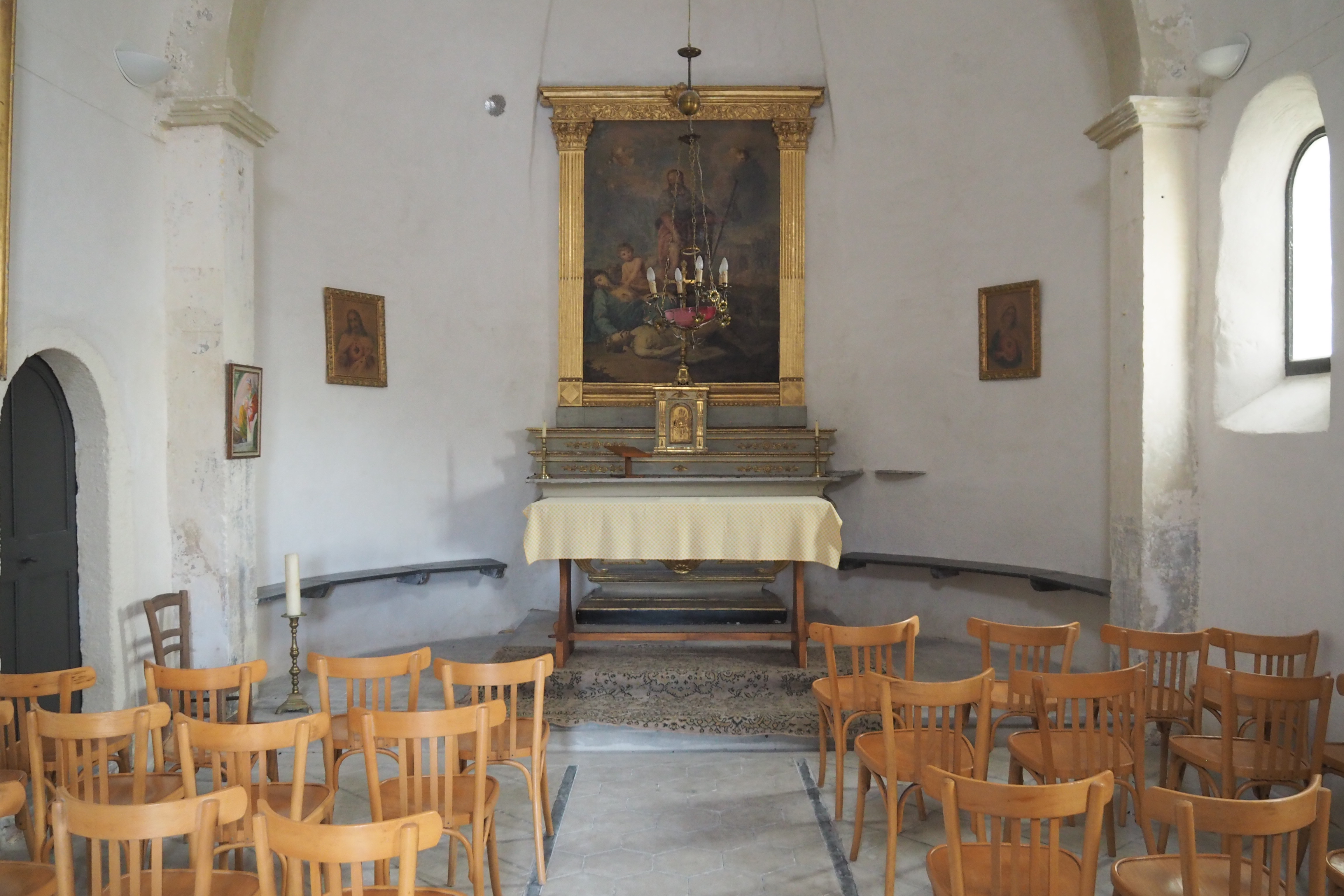
As you emerge from the underpass you will see, opposite you, the Chapelle Notre Dame des Grâces. Take the street on the left of the chapel and carry on all the way along the asphalt road. At the stop sign, turn left along the Chemin de Sérignan (marked with a sign about "la Drôme à vélo" - exploring the Drôme by bicycle). Carry on along the road.
After the fields, take the first road on the left, before the house, and go past the barrier.
At the end of the road, go past the barrier and turn right. That will take you to the D13 county highway, the Avenue du Maréchal Juin.
Cross it and then turn left along the pavement (or, for our transatlantic visitors, the sidewalk).
Before the underpass beneath the N7, take the street on the right, to the barrier, and carry straight on past the houses (the Allée des Rameaux).
At the bend, leave this asphalt road and, when you reach the blocks of stone, take the track or dirt road opposite. Leave this track where you see bocks of stone lying on the ground. At the end of the street, turn right. At the "Cédez le Passage" (give way) sign, turn left and then left again: cross the irrigation canal and turn right along the field.
At the end of the field, cross the Chemin des Mûriers and go straight over until you reach the Chemin du Basilic. Just nearby is the Lac de Pignedoré. At the end of the Chemin du Basilic, turn left (the Allée Pierre Puvis de Chavanne).
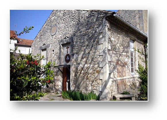
Cross the road at the pedestrian crossing and carry straight on. At the end, turn right for the Chapelle Saint Roch. Go past the chapel and, at the end, turn left along the Rue Larousse.
At the end of this street, take the underpass beneath the N7. When you emerge, go straight on.
At the intersection, turn left and go past a big cross.
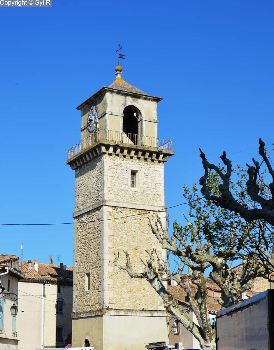
Carry on past the plane trees and you will arrive in the town centre.
At the intersection, turn right along Avenue Bonaparte to return to your start point.
Spoken languages
- French
Labels and ranking
- Open air
Activities
- Pedestrian sports
- Hiking itinerary
Opening
Rate
Situation
To see the spot on the map, you can fly over the altitude difference below.
Amenities and Services
- Coach access
- Motorhomes allowed
- Pets welcome
- Play area
- Picnic area
- Public WC
- Car park
- Defibrillator
- Coach parking
- Charging stations for electric vehicles
- Free car park
- Type 2 socket